

Pull to refresh
Logo
San Francisco's Sunset Dunes park shows minor traffic impacts, data says

San Francisco's Sunset Dunes park shows minor traffic impacts, data says

Built World San Francisco, CA local

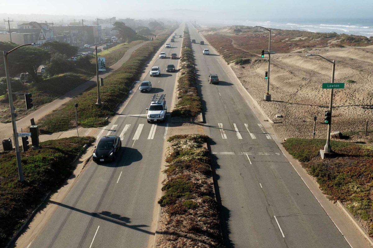
The closure of Upper Great Highway added about 30 seconds to the 29 Sunset bus route, according to city data.

Overview

Updated 1 hour ago

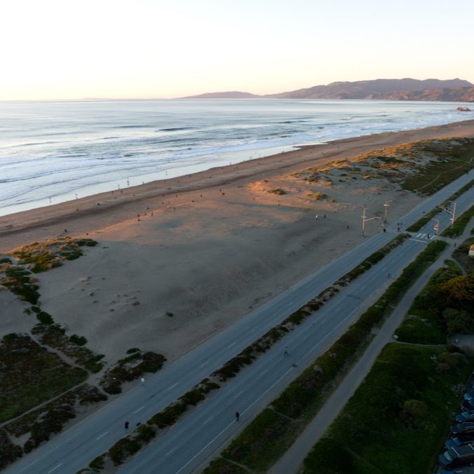
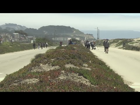
San Francisco closed a two-mile stretch of the Upper Great Highway in March 2025 to build Sunset Dunes, a 50-acre oceanfront park. New city data shows the change added about 30 seconds to the average daily trip on the 29 Sunset bus route.

The numbers are small, but they land in a fight over who gets to use the city's western edge. The park is popular, yet the closure sparked a recall election against the supervisor who championed it.

Why it matters

The data suggests the park's traffic effects are modest, but the political fight over car space and public space is far from settled.

Monday: what changed in San Francisco, CA

One short email a week with the openings, closings, permits and council votes we covered. Free. Unsubscribe in one click.

Questions about this story

Free account needed to ask — your question is kept and asked for you right after sign-up. Answers are public.

No questions yet — be the first to ask.

Key Indicators

30 seconds
Average daily increase on 29 Sunset bus
SFMTA data from May 2025 showed a 30-second average daily increase, with a 44-second decrease during morning peak southbound.
2,000
Additional vehicles per day on Chain of Lakes Drive
Compared with pre-closure levels.
700
Additional vehicles per day on Lower Great Highway
About one extra vehicle per minute at peak hour.
50 acres
Size of Sunset Dunes park
California's largest pedestrianization project.
13,000
Visitors on opening day
April 12, 2025.
54%
Citywide vote for Proposition K
November 2024.
64%
District 4 vote against Proposition K
The supervisor who backed it faced a recall.

Voices

Curated perspectives — historical figures and your fellow readers.

Sign up to generate historical perspectives on this story.

People Involved

Organizations Involved

Timeline

November 2024 September 2025

6 events Latest: September 16th, 2025 · 1 year ago
Tap a bar to jump to that date
  1. Recall election scheduled for District 4 supervisor

    Latest Election

    Voters in District 4 were set to decide whether to recall Supervisor Joel Engardio.

  2. SFMTA releases Spring 2025 traffic data showing 30-second average increase on 29 Sunset

    Data release

    The report found minor traffic shifts largely aligned with pre-closure projections.

  3. Recall organizers submit 10,523 valid signatures against Supervisor Joel Engardio

    Recall

    The signatures triggered a special election for the District 4 seat.

  4. Sunset Dunes park opens to the public

    Opening

    The 50-acre park welcomed 13,000 visitors on its first day.

  5. City closes Upper Great Highway between Lincoln Way and Sloat Boulevard

    Closure

    The two-mile stretch was closed to cars to make way for the new park.

  6. Proposition K passes, approving closure of Upper Great Highway

    Vote

    The ballot measure passed with 54% citywide support, though 64% of District 4 voters opposed it.

Scenarios

1

Great Highway Extension closes on schedule in early 2027

Likely Resolves by End of 2027

Discussed by: SFMTA and Caltrans

The northbound Great Highway Extension from Skyline to Sloat is set to close permanently in early 2027 as part of the Ocean Beach Climate Change Adaptation Project. If it proceeds, traffic will shift further inland. SFMTA and Caltrans have not announced a delay.

2

SFMTA completes new traffic signals at Lincoln Way and La Playa by end of 2026

Possible Resolves by End of 2026

Discussed by: SFMTA

The agency proposed new signals and turn restrictions to reduce congestion. If installed, they could cut delays on nearby routes. SFMTA has not set a firm completion date.

3

Traffic on Chain of Lakes Drive returns to pre-closure levels by 2027

Unlikely Resolves by End of 2027

Discussed by: SFMTA data

Current data shows about 2,000 more vehicles per day on Chain of Lakes. If drivers adapt or take other routes, volumes could fall. SFMTA will continue monitoring.

Historical Context

3 moments from history that rhyme with this story — and how they unfolded.

1989-1991

Embarcadero Freeway removal (1991)

The 1989 Loma Prieta earthquake damaged the Embarcadero Freeway in San Francisco. The city demolished it in 1991 instead of rebuilding, despite fears of traffic chaos.

Then

Traffic initially increased on nearby streets, but congestion was less severe than predicted.

Now

The waterfront reopened, leading to revitalization of the Embarcadero and Ferry Building.

Why this matters now

Like the Great Highway closure, it shows removing a highway can have modest traffic impacts and long-term benefits.

2003-2005

Cheonggyecheon restoration (2003-2005)

Seoul removed a 5.8-kilometer elevated highway covering the Cheonggyecheon stream and restored the waterway as a public space.

Then

Traffic congestion initially worsened, but public transit use increased.

Now

The project became a model for urban renewal and reduced car use.

Why this matters now

It shows that major road removals can be politically controversial but can shift travel behavior.

2009

Times Square pedestrianization (2009)

New York City closed parts of Broadway to cars in Times Square in 2009, initially as a pilot, despite traffic concerns.

Then

Traffic slowed on some nearby streets, but overall delays were less than feared.

Now

The pedestrian plaza became permanent and popular, boosting local business.

Why this matters now

It illustrates how temporary data can inform permanent changes, similar to the Great Highway closure.

Sources

(3)