

October 2007
National Weather Service storm-based warnings (2007)
Before 2007, the National Weather Service issued tornado and severe thunderstorm warnings for entire counties. That October it switched to storm-based warnings drawn as polygons around the actual threat, shrinking the average warned area.
Then
Far fewer square miles went under warning for the same storm.
Now
The polygon became the standard unit of weather warning, and its data feed is what local siren systems now read.
Why this matters now
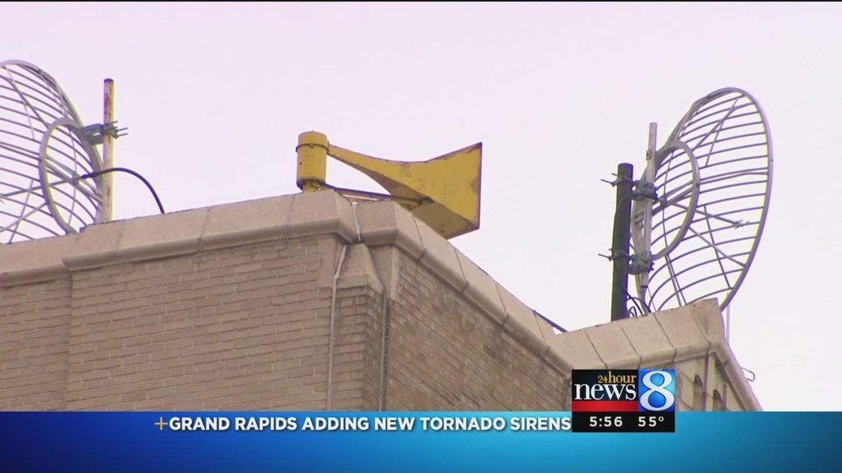
Grand Rapids' geofencing is the siren-level version of the same idea: warn the area under the polygon, not the whole jurisdiction.