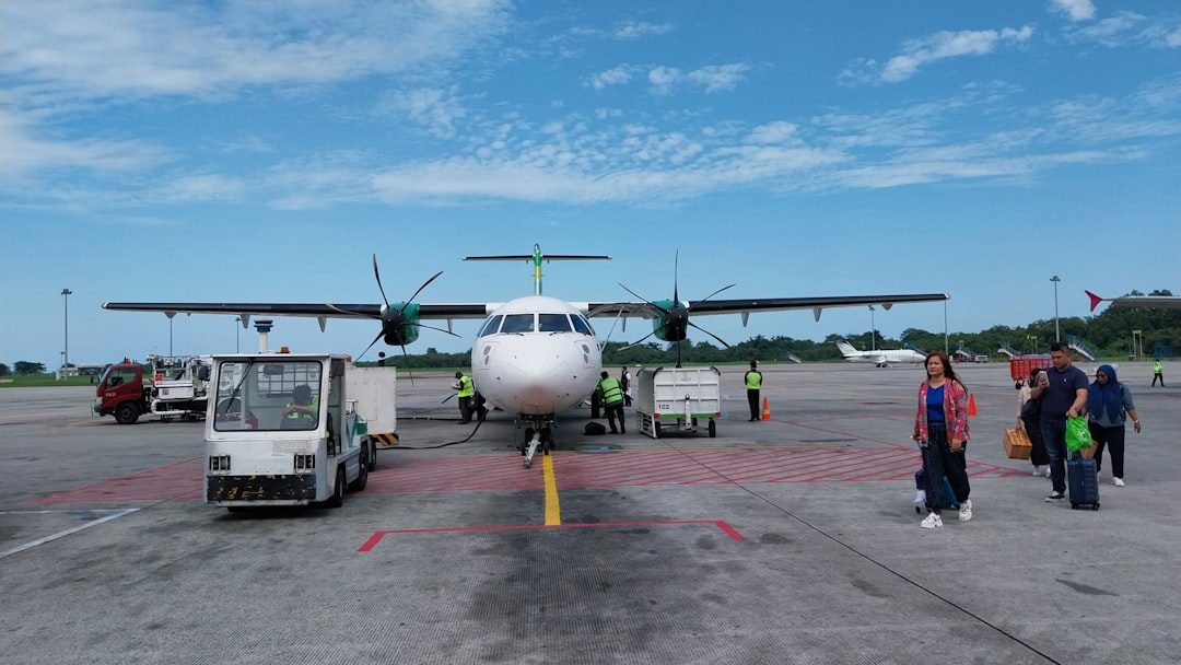
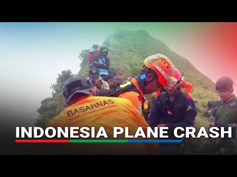
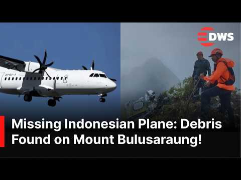
An Indonesia Air Transport ATR 42-500, chartered by the government for fisheries surveillance, crashed into Mount Bulusaraung in South Sulawesi on January 17, 2026. Ten people were aboard—seven crew members and three Marine Affairs Ministry staff conducting aerial monitoring of Indonesian waters. Rescuers recovered all ten victims by January 23 after a seven-day search through steep terrain, thick fog, and high winds, with the final two bodies found in the early morning hours.
Indonesia's National Transportation Safety Committee classified this as controlled flight into terrain: the aircraft was flyable, the crew was in control, but they flew into a mountain they didn't see. Both flight recorders were recovered intact on January 21 and handed to KNKT on January 22 for analysis: the cockpit voice recorder with four audio channels and the flight data recorder with 88 flight parameters. Investigators will determine whether the crew deviated from their approach path, whether fog obscured the terrain, or whether other factors contributed to Indonesia's latest CFIT accident.
Questions about this story
Free account needed to ask — your question is kept and asked for you right after sign-up. Answers are public.
No questions yet — be the first to ask.
Key Indicators
10
All Victims Identified
South Sulawesi Police DVI team completed identification of all 10 victims using fingerprints, dental records, belongings by January 23
171
FDR Recording Hours
Flight data recorder captured 171 hours of operation with 180+ parameters covering crash flight
2
CVR Audio Hours
Cockpit voice recorder captured 2 hours of pilot conversations and cockpit sounds
23 events
Latest: February 2nd, 2026 · 7 months ago
Showing 8 of 23
JK to step
Tap a bar to jump to that date
Jump to
February 2026
KNKT Downloads Black Box Data
LatestInvestigation
KNKT successfully extracted data from both flight recorders: FDR contains 171 hours with 180+ parameters; CVR records 2 hours cockpit audio. Data now undergoing verification and technical analysis before preliminary report.
January 2026
All Ten Victims Recovered
Discovery
Final two bodies recovered from crash site, completing seven-day search and rescue operation. All ten people aboard confirmed deceased. Recovery hampered throughout operation by mountainous terrain, thick fog, and adverse weather conditions.
Third Victim Identified as Deden Mulyana
Investigation
DVI team identifies third victim as Deden Mulyana (also spelled Deden Maulana), state asset manager for Ministry of Maritime Affairs and Fisheries. One of three PSDKP passengers aboard surveillance flight.
KNKT Receives Black Boxes for Analysis
Investigation
KNKT Chairman Soerjanto Tjahjono officially receives both flight recorders from BASARNAS Chief Mohammad Syafii. Cockpit voice recorder contains four channels: pilot-ATC communications, inter-pilot communications, cockpit cabin sounds, and background audio. Flight data recorder stores 88 parameters including altitude, speed, and technical data.
Six More Bodies Recovered
Discovery
Search teams recover six additional bodies from crash site, bringing total recovered to eight. Operations continue for final two victims amid challenging terrain and weather.
Black Box Recovered Intact
Discovery
Joint search team led by Kodam XIV Hasanuddin recovers flight data recorder and cockpit voice recorder in intact condition from tail section. Found on cliff face at 150-meter depth from peak. Recorders to be handed to KNKT for analysis.
Flight Attendant Florencia Lolita Identified
Investigation
DVI team of South Sulawesi Police identifies second recovered victim as Florencia Lolita Wibisono, 33-year-old flight attendant from Jakarta, through fingerprint analysis. She had served as Company Checker Flight Attendant for ATR-72 fleet for three months.
Second Body Recovered
Discovery
Search teams recover second victim from crash site. Body identified as female. Evacuation hampered by poor weather, strong winds, and near-vertical terrain requiring mountaineering techniques.
Personal Items of Crew Members Found
Discovery
Joint SAR team recovers personal belongings of flight attendant Esther Aprilita including wallet, ID card, diary, tablet, and documents. Items aid identification process.
Black Box Search Focuses on Second Peak
Response
Abdul Rajab, Head of Bantimurung Bulusaraung National Park, directs joint search team to focus black box recovery efforts on cliffs near the second peak of Mount Bulusaraung.
Transportation Ministry Confirms Airworthiness
Investigation
Ministry of Transportation releases detailed maintenance records showing PK-THT underwent inspections in September, November, and December 2025. Airworthiness Certificate Renewal conducted September 3, 2025; ramp check completed November 19, 2025 at Manado.
All Crew Declared Medically Fit
Investigation
Director General of Air Transportation confirms examination of crew health certificates showed all crew met operational requirements. Captain Dahananto's Class 1 certificate valid until January 31, 2026; First Officer Mahardika's valid until February 15, 2026.
Debris Spotted from Air
Discovery
Helicopter AI-7301 reports white debris above Bulusaraung Hill. Second helicopter confirms wreckage north of the peak.
Wreckage Located
Discovery
Joint search team confirms crash site on steep slope of Mount Bulusaraung. Fuselage, tail section, engine, and scattered debris found. One body recovered from ravine 200 meters from peak.
KNKT Announces Preliminary Finding
Investigation
KNKT Chairman Soerjanto Tjahjono classifies accident as controlled flight into terrain. Investigation formally opened with ATR providing technical support.
Departure from Yogyakarta
Flight
ATR 42-500 PK-THT departs Adisutjipto International Airport for routine two-hour flight to Makassar with 10 aboard.
Final Contact with ATC
Flight
Aircraft communicates with air traffic control approximately 20 kilometers from destination. Controllers observe plane not on correct approach path and issue instructions.
Aircraft Lost
Incident
Contact lost. Local residents near Mount Bulusaraung report hearing explosion and seeing smoke in the Bantimurung-Bulusaraung National Park.
Search Operations Begin
Response
BASARNAS deploys helicopters, drones, and ground teams. Fog, rain, and high winds hamper initial search efforts in mountainous terrain.
April 2025
Converted to Surveillance Platform
Modification
Reconfigured for aerial surveillance work. Contracted to Marine and Fisheries Resources Surveillance agency for maritime patrol missions.
2010
Transferred to Indonesia Air Transport
Background
Acquired by Indonesian charter operator, re-registered as PK-THT. Configured with 46-seat economy layout.
March 2001
Enters Service with Air Dolomiti
Background
Aircraft delivered to Italian regional carrier Air Dolomiti, operating European routes for nine years.
2000
Aircraft Manufactured
Background
ATR 42-512 serial number 611 built in Toulouse, France. Registered as I-ADLN for delivery to Air Dolomiti.
Scenarios
1
Navigation Error in Poor Visibility Confirmed
Likely
Discussed by: Aviation safety analysts, based on preliminary CFIT classification and reports of fog at crash site
Investigation determines crew deviated from correct approach path due to poor visibility, striking terrain they couldn't see. KNKT has already indicated the aircraft was not on the correct approach. Local residents reported thick fog and limited visibility. If confirmed, this would echo patterns from previous Indonesian CFIT accidents where weather and mountainous terrain combined with navigation errors.
Indonesia Air Transport acknowledged the aircraft had "a problem with the engineering" that was fixed before departure. If investigators find the repair was inadequate or a separate system failure occurred—particularly affecting navigation or terrain awareness equipment—the focus shifts from crew actions to maintenance and airworthiness oversight. Black box data will be critical.
3
Crew Ignored Terrain Warnings
Possible
Discussed by: Analysts familiar with Indonesian CFIT history, particularly the 2012 Sukhoi crash pattern
Multiple previous Indonesian CFIT accidents involved crews disabling or ignoring terrain warning systems. The 2012 Sukhoi Superjet crash into Mount Salak occurred after pilots turned off functioning TAWS. If cockpit voice recorder analysis reveals the ATR crew dismissed or deactivated warnings, this would indicate systemic training deficiencies rather than isolated error.
Impact on steep mountainous terrain after controlled flight can damage flight data and cockpit voice recorders beyond recovery. If black boxes are destroyed or severely degraded, investigators may be unable to determine exact cause, similar to cases where only partial data was recoverable. The preliminary CFIT classification would stand without further explanation.
Historical Context
3 moments from history that rhyme with this story — and how they unfolded.
1 of 3
2007-2015
Indonesia Aviation Safety Reforms (2007-2015)
Following a series of fatal crashes and European Union bans on Indonesian carriers, Indonesia undertook comprehensive aviation safety reforms. KNKT was separated from the Ministry of Transportation in 2012 to ensure independent investigations. New oversight protocols were implemented.
Then
EU lifted ban on Indonesian airlines in 2018 after safety improvements verified.
Now
Fatal accidents dropped from 27 in 2000-2009 to 18 in 2010-2019. However, CFIT and loss of control accidents continued, particularly on routes involving mountainous terrain and remote airports with limited navigation infrastructure.
Why this matters now
Context for Indonesia's ongoing safety challenges. Despite improvements, mountainous terrain, aging regional fleets, and limited ground-based navigation aids in remote areas continue to produce CFIT accidents.
2 of 3
May 2012
Sukhoi Superjet 100 Mount Salak Crash (2012)
A Sukhoi Superjet 100 on a promotional demonstration flight from Jakarta crashed into Mount Salak, killing all 45 aboard including the aircraft's test pilot Alexander Yablontsev. The plane was showing off the new Russian-built jet to potential Indonesian airline customers.
Then
Bodies and wreckage scattered across steep volcanic terrain. First accident involving the Superjet type.
Now
Investigation found the terrain warning system worked correctly and warned pilots 38 seconds before impact. Crew turned off warnings, believing they were malfunctioning, while distracted by conversations with passengers. Jakarta Post dubbed Mount Salak 'an airplane graveyard.'
Why this matters now
Demonstrates pattern of crews dismissing functional safety systems in Indonesian mountain-approach scenarios. Raises question of whether ATR crew similarly ignored or lacked effective terrain warnings.
3 of 3
August 2015
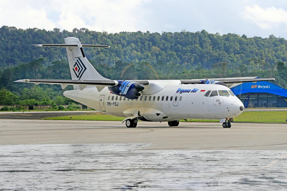
Trigana Air Flight 267 (2015)
An ATR 42-300 carrying 54 people crashed into Tangok Mountain in Papua while approaching Oksibil Airport. Captain Hasanuddin, with 25,200 flight hours, deviated from the standard visual approach path—a maneuver he had made routinely on previous flights. The flight data recorder was inoperative. No one survived.
Then
Remains the deadliest ATR 42 accident in history. Investigation found no technical failure.
Now
KNKT determined crew habitually deviated from prescribed routes without assessing terrain risk. Aeronautical charts for Oksibil contained incorrect minimum safe altitude data. Prompted calls for upgraded navigation infrastructure in Papua.
Why this matters now
Identical CFIT pattern: experienced crew, turboprop aircraft, mountainous Indonesian terrain, deviation from correct approach. Demonstrates how normalized unsafe practices can persist until fatal.