
Pull to refresh
Logo
Japan builds a navigation network that can run without GPS

Japan builds a navigation network that can run without GPS

Built World

The Michibiki No. 7 launch gives Japan four positioning satellites always overhead, cutting its reliance on the US GPS

Today: QZS-7 reaches orbit

Overview

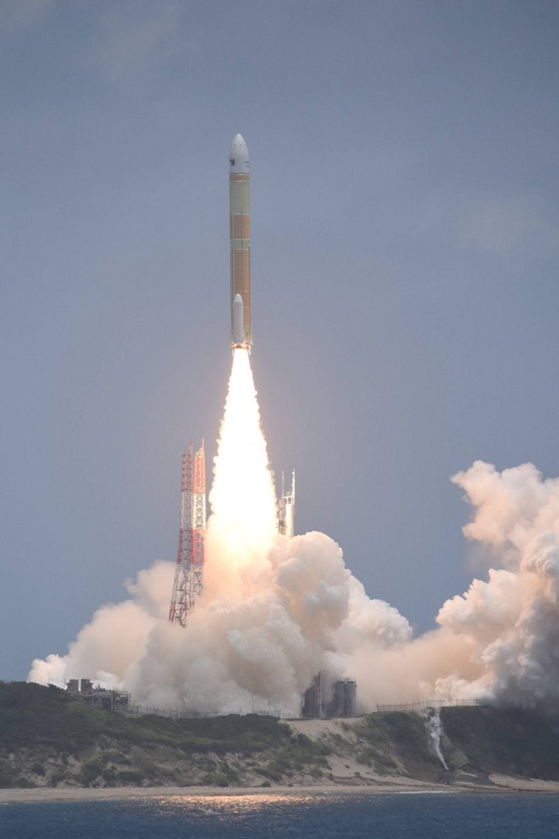
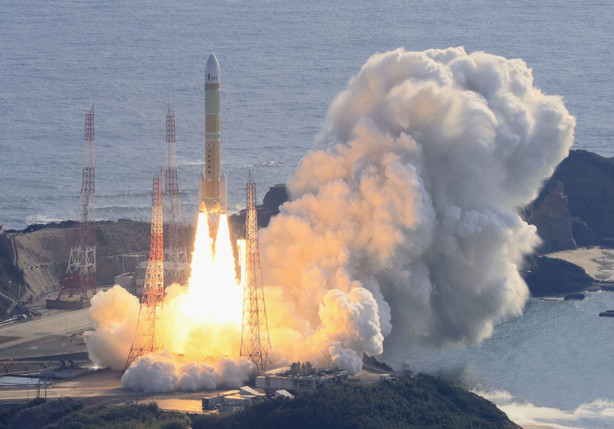
Every phone map, ride-share pickup, and delivery van in Japan has leaned on a signal owned by the United States. On August 11, Japan moved to change that. An H3 rocket carried the Michibiki No. 7 satellite to orbit, giving Japan enough satellites overhead to fix a position without the US Global Positioning System.

The network is regional, not global, and one earlier satellite was lost in a December rocket failure. But for the airspace and roads over Japan and the wider Asia-Pacific, the country can now navigate on its own signals. That matters if GPS is ever jammed, spoofed, or switched off.

Why it matters

If GPS is ever jammed or cut off over Japan, phones, cars, and aircraft there can now keep navigating on Japan's own satellites.

Questions about this story

No questions yet — be the first to ask.

Key Indicators

4
Satellites always over Japan
With QZS-7 in orbit, four Michibiki satellites are constantly visible from Japan, enough to fix a position alone.
6 cm
Positioning accuracy
Michibiki's augmentation service can pin a location to about six centimeters with a compatible receiver.
~29 min
Time to satellite separation
QZS-7 separated into its planned orbit about 29 minutes after liftoff.
11
Target constellation size
Japan plans to grow the network to 11 satellites by the late 2030s for backup and reliability.
2 of 9
H3 launch failures
The H3 rocket has failed twice in nine flights, most recently in December 2025.

Voices

Curated perspectives — historical figures and your fellow readers.

Ever wondered what historical figures would say about today's headlines?

Sign up to generate historical perspectives on this story.

Play

Exploring all sides of a story is often best achieved with Play.

Most of these play right now — no account needed. Sign up to save scores, keep a streak, and unlock Debate and Predict. Log in Sign Up
Predict 3 ways this could play out. Back the one you believe — contrarian picks score more when a scenario has a resolution date. Log in to play

People Involved

Organizations Involved

Timeline

September 2010 August 2026

5 events Latest: Today
Tap a bar to jump to that date
  1. QZS-7 reaches orbit

    Today Launch

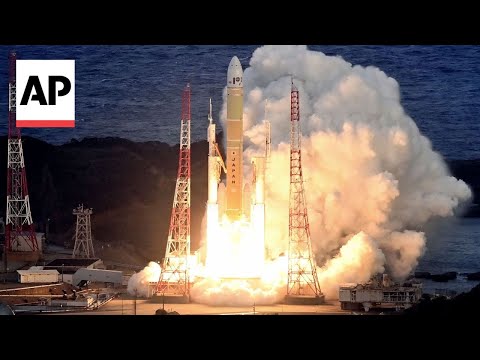
    An H3 rocket delivers Michibiki No. 7 to orbit, giving Japan four satellites always overhead and GPS-independent positioning. It was the H3's second straight success.

  2. H3 failure destroys QZS-5

    Setback

    The H3's second-stage engine fails to reignite and shuts down early, and the QZS-5 navigation satellite is lost.

  3. H3 rocket fails on debut

    Setback

    The new H3 rocket fails on its first flight due to a second-stage problem, losing an Earth observation satellite.

  4. Four-satellite service starts

    Milestone

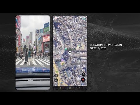
    QZSS begins operating with four satellites, keeping one almost directly overhead Japan to sharpen positioning in dense cities.

  5. First Michibiki satellite launches

    Milestone

    Japan launches QZS-1, the first satellite in what starts as a system to improve GPS accuracy over the country.

Historical Context

3 moments from history that rhyme with this story — and how they unfolded.

December 2016

Europe's Galileo goes live (2016)

The European Union switched on Galileo, its own satellite navigation system, after nearly two decades of work and cost overruns. Europe built it partly to avoid depending on the US military-controlled GPS, which Washington can degrade or restrict in a crisis.

Then

Galileo began offering early positioning services in 2016 with a partial constellation, before reaching fuller operation later.

Now

Galileo is now one of four global navigation systems and is used by billions of smartphones worldwide.

Why this matters now

Like Japan, Europe wanted navigation it controlled rather than a signal owned by another government. Japan's version is regional, but the motive is the same.

June 2020

China completes BeiDou (2020)

China launched the final satellite of BeiDou-3, finishing a global navigation network built to end its reliance on GPS. The push accelerated after a 1996 crisis in which China blamed a lost GPS signal for missile tests going wrong near Taiwan.

Then

BeiDou reached global coverage with about 30 satellites, serving both civilian and military users.

Now

China now runs a fully independent global positioning system and exports the service across Asia, Africa, and beyond.

Why this matters now

BeiDou shows how a country treats GPS dependence as a strategic risk. Japan is answering the same worry with a smaller, regional system focused on its own territory.

May 2000

GPS Selective Availability switched off (2000)

For years the US military deliberately degraded civilian GPS accuracy, a feature called Selective Availability, to blur precision for potential adversaries. In May 2000 the US turned it off, instantly sharpening civilian positioning worldwide.

Then

Civilian GPS accuracy improved roughly tenfold overnight, spurring consumer navigation and mapping products.

Now

The episode reminded other governments that a single country controlled the switch on a service the world depended on.

Why this matters now

It is the clearest example of why nations build their own systems. Whoever owns the satellites can dial the signal up or down, and Japan wanted that control at home.

Sources

(6)