
Pull to refresh
Logo
Boston revamps Blue Hill Avenue plan: center bus lanes stay, bike lanes shrink

Boston revamps Blue Hill Avenue plan: center bus lanes stay, bike lanes shrink

Built World Boston, MA local

A $163 million redesign of the MBTA's busiest corridor now leans more heavily toward cars and parking after years of community feedback

2 days ago: Revised plan released

Overview

Updated 56 minutes ago

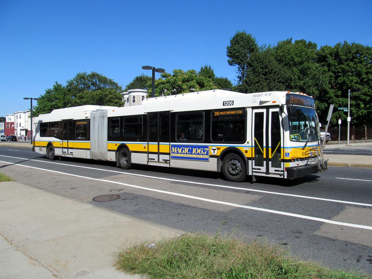
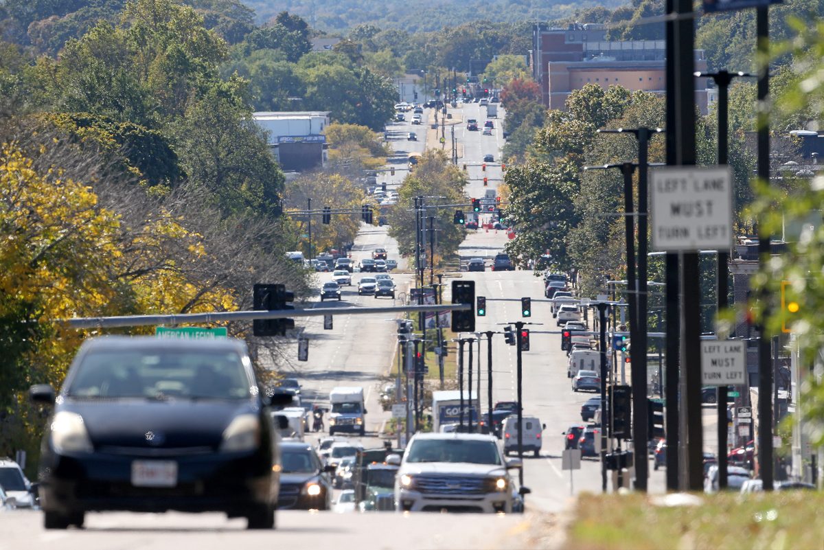
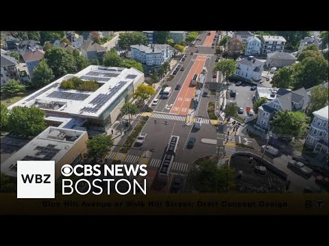
Boston's Transportation Department released a revised $163 million design for Blue Hill Avenue, the three-mile corridor between Mattapan Square and Roxbury that carries the MBTA system's highest bus ridership. The new plan keeps two center bus lanes the full length of the route but cuts bike lanes to one side of the road, adds dedicated motor-vehicle lanes, and expands parking.

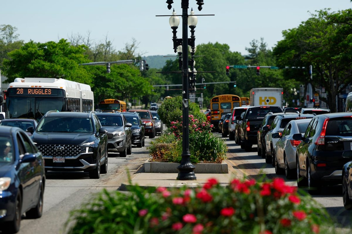
The shift reflects years of community engagement in which residents, business owners, and delivery drivers pushed back on earlier designs that reserved more street space for bikes and pedestrians. The corridor carries about 37,000 bus boardings each weekday, and the redesign is the city's attempt to balance bus speed against the car and parking needs of the largely minority-owned commercial strip.

Why it matters

The MBTA's busiest bus corridor is being rebuilt for the next generation, and the final street layout will decide whether thousands of daily riders get faster trips or keep crawling in traffic.

Questions about this story

Free account needed to ask — your question is kept and asked for you right after sign-up. Answers are public.

No questions yet — be the first to ask.

Key Indicators

$163M
Project budget
Total cost of the Blue Hill Avenue redesign from Mattapan Square to Roxbury.
37,000
Daily bus boardings
Weekday boardings along the corridor, the highest in the entire MBTA system.
2
Dedicated vehicle lanes
Motor-vehicle lanes preserved the whole way, in addition to center bus lanes.
1
Bike lane sides
Bike lanes limited to one side of the avenue, down from two-sided designs in earlier proposals.

Voices

Curated perspectives — historical figures and your fellow readers.

Ever wondered what historical figures would say about today's headlines?

Sign up to generate historical perspectives on this story.

Play

Exploring all sides of a story is often best achieved with Play.

Most of these play right now — no account needed. Sign up to save scores, keep a streak, and unlock Debate and Predict. Log in Sign Up
Predict 3 ways this could play out. Back the one you believe — contrarian picks score more when a scenario has a resolution date. Log in to play

People Involved

Organizations Involved

Timeline

January 2023 September 2026

8 events Latest: 2 days ago
Tap a bar to jump to that date
  1. Revised plan released

    Latest Design Update

    City publishes $163M plan keeping center bus lanes, adding two motor-vehicle lanes and more parking, cutting bike lanes to one side.

  2. Short-term improvements done

    Infrastructure

    Street lighting, paving, and markings upgraded between Mattapan Square and Grove Hall in advance of final design.

  3. Concept design open houses

    Public Meeting

    City presents concept designs and reports short-term repairs: 198 streetlights, refreshed crosswalks and bike lanes.

  4. Rider survey completed

    Survey

    LivableStreets collected over 500 bus rider surveys in three languages; most respondents ride exclusively by bus.

  5. Engagement report released

    Report

    City publishes community engagement findings and Streets Cabinet evaluation of design approaches.

  6. July community meeting

    Public Meeting

    City details both alternative designs and states its preferred approach; asks residents for feedback.

  7. First design scenarios presented

    Public Meeting

    City shares design metrics and two alternative scenarios; 55 residents attend, mostly bus and pedestrian users.

  8. Planning partnership announced

    Initiative

    MBTA and City of Boston launch the Blue Hill Avenue Transportation Action Plan for the three-mile corridor.

Historical Context

3 moments from history that rhyme with this story — and how they unfolded.

2018-2022

Seattle's RapidRide H Line (2022)

Seattle spent about $100 million redesigning a 3.5-mile corridor on Delridge Way with center-running bus lanes, new stations, and signal priority, following years of community meetings where parking and business access were the most contested issues.

Then

Bus travel times dropped by roughly 20% after opening, and ridership grew despite the pandemic.

Now

The corridor became a model for city-run bus rapid transit outside dedicated BRT systems, showing that center bus lanes can work alongside retail streets.

Why this matters now

Seattle's experience demonstrates the tradeoff Boston faces: center bus lanes deliver measurable speed gains, but only if the city resists pressure to let cars reclaim the space. Boston's smaller bike allocation mirrors similar compromises elsewhere.

2019-2020

New York's 14th Street busway (2019)

New York City converted a stretch of 14th Street in Manhattan to a bus-only street during weekday hours, banning most private cars despite fierce opposition from drivers and some businesses. The move followed years of planning where bus speeds had fallen below 4 mph.

Then

Bus ridership grew and travel times halved; pedestrian traffic increased, and most businesses saw stable or improved sales.

Now

The busway became a template for car-restricted transit streets, but its success depended on political willingness to override business and driver complaints.

Why this matters now

Boston's Blue Hill Avenue plan keeps two car lanes and adds parking rather than restricting cars outright, a middle path compared to New York's busway. The contrast shows the range of possible outcomes for transit-priority corridors and how much political capital each approach requires.

1950s-1970s

Boston's 1950s urban renewal and the dismantling of streetcar corridors

Boston converted several of its busiest streetcar lines, including routes along Blue Hill Avenue, to buses while widening streets for cars under federal urban renewal funding. The corridor lost its dedicated rail right-of-way and became a heavily congested mixed-traffic bus street.

Then

Auto traffic increased sharply while bus speeds declined; the corridor became notorious for slow, unreliable service.

Now

Blue Hill Avenue now carries the MBTA's highest bus ridership but with buses stuck in the same traffic as cars, a legacy of the mid-century road-first approach.

Why this matters now

Today's redesign wrestles with the same core question: whether the street serves people moving in buses or cars. The center bus lanes reverse the 1950s decision to let cars dominate, while the reduced bike infrastructure shows the limits of that reversal.

Sources

(2)