

Pull to refresh
Logo
Port of San Diego closes two bayfront trails as King Tides raise flood risk

Port of San Diego closes two bayfront trails as King Tides raise flood risk

Built World San Diego, CA local

La Playa and Grand Caribe trails are shut through Nov. 30, with tides forecast to reach nine feet

Overview

Updated 3 hours ago

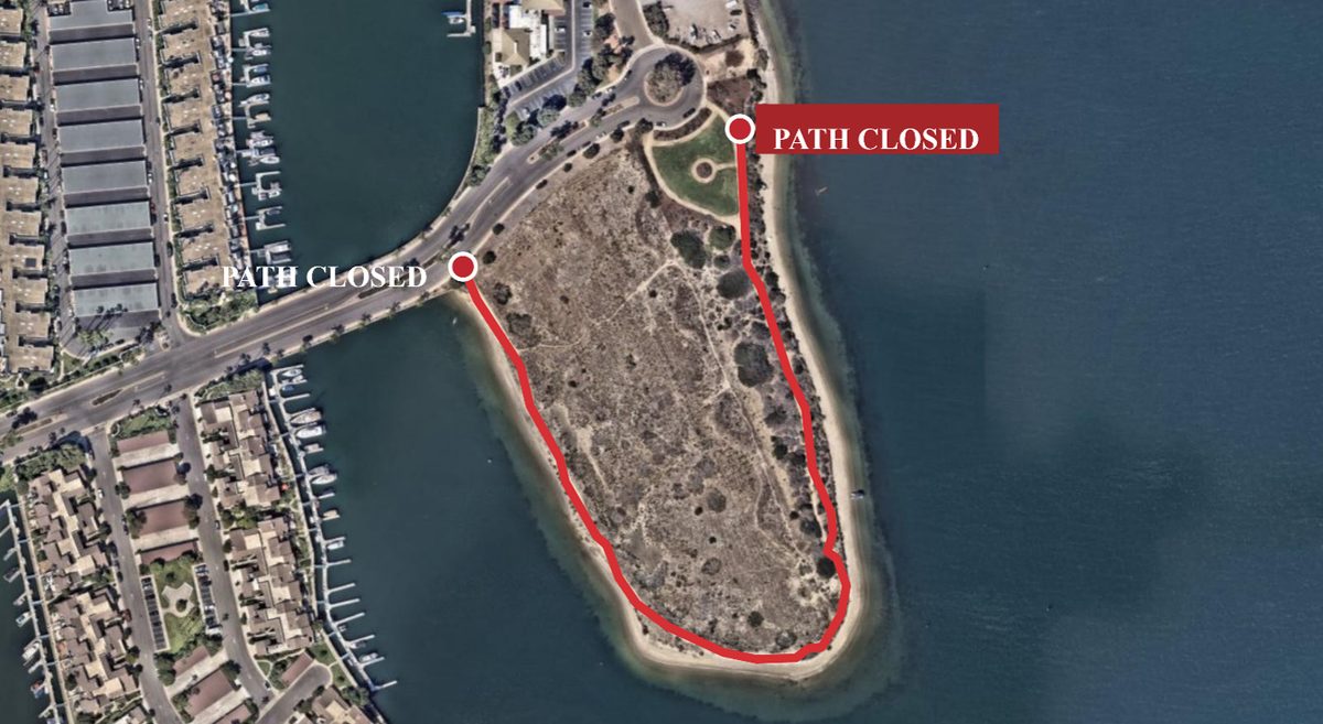
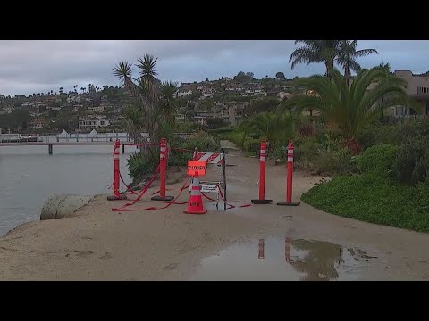
The Port of San Diego closed two shoreline trails on Thursday afternoon and will keep them shut through Nov. 30. The La Playa Trail in Point Loma and the Grand Caribe Trail near the Coronado Cays are off-limits as tides are forecast to reach nine feet.

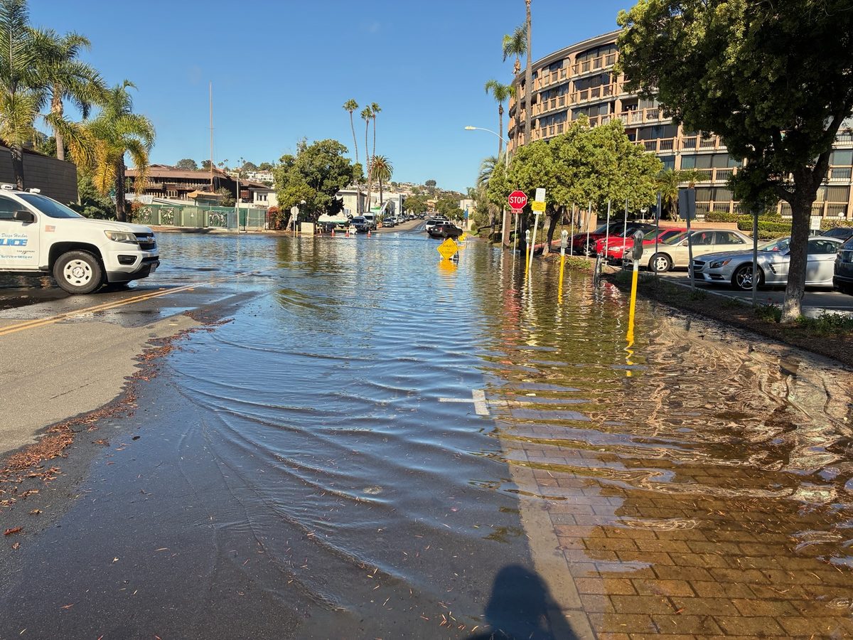
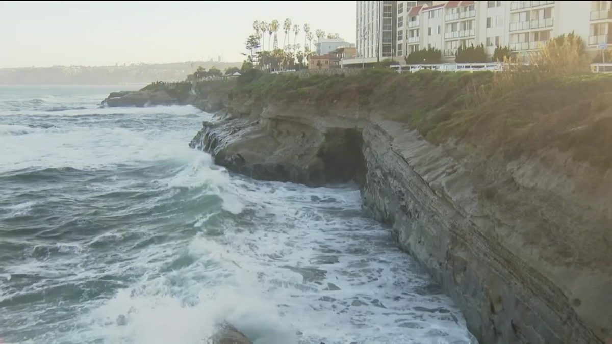
The closures follow a local emergency the Board of Port Commissioners declared on Oct. 13 for anticipated storm impacts. Port staff say they have already seen dry-weather flooding along Harbor Drive and other low-lying areas. The cause is a mix of high tides, El Niño conditions and Kelvin waves, long ocean swells that raise coastal water levels.

Why it matters

Two popular bayfront paths are closed through Nov. 30, and the Port lists other low-lying areas at risk from high tides.

Last Monday's email for San Diego, CA

Sent Nov 16. It carried:

Get next Monday's: one short email a week. Free. Unsubscribe in one click.

Questions about this story

Free account needed to ask — your question is kept and asked for you right after sign-up. Answers are public.

No questions yet — be the first to ask.

Key Indicators

2
Trails closed
La Playa Trail and Grand Caribe Trail
9 ft
Forecast peak tide
National Weather Service projection for San Diego Bay
12 days
Closure length
Nov. 19 to Nov. 30, 2026
34 miles
Bayfront under Port management
Spanning five cities along San Diego Bay

Voices

Curated perspectives — historical figures and your fellow readers.

Sign up to generate historical perspectives on this story.

Organizations Involved

Timeline

October 2026 November 2026

3 events Latest: Yesterday
  1. Port closes La Playa and Grand Caribe trails

    Latest Closure

    Both trails shut through Nov. 30 as tides are forecast to reach nine feet and erosion reduces stability.

  2. Dry-weather flooding observed along Harbor Drive

    Observation

    Port staff report periodic flooding from high tides, El Niño conditions and Kelvin waves in low-lying areas.

  3. Port board declares local emergency

    Declaration

    The Board of Port Commissioners declares a local emergency to prepare for anticipated storm impacts.

Scenarios

1

Trails reopen Dec. 1 as tides recede

Likely Resolves by Dec 1, 2026

Discussed by: Port of San Diego closure notice; NBC 7 and CBS 8 coverage

The Port's notice sets a Nov. 30 end date, and the forecast calls for the highest tides to pass. If erosion has not worsened, both trails reopen on schedule. Harbor Police and Port staff continue monitoring conditions.

2

Port extends closures past Nov. 30

Possible Resolves by Dec 2, 2026

Discussed by: Port of San Diego; local coverage

If high tides or new storms further erode the shoreline, the Port could keep one or both trails shut. The notice already cites reduced trail stability, and the Bayshore Bikeway has periodic repair closures into mid-December.

3

Additional bayfront areas close as tides peak

Possible Resolves by Dec 15, 2026

Discussed by: Port of San Diego; National Weather Service

The Port lists several other vulnerable spots, including Harbor Drive segments and the Embarcadero. A higher-than-forecast tide or rain on top of high tides could force more closures.

Historical Context

2 moments from history that rhyme with this story — and how they unfolded.

1997-1998

1997-98 El Niño

A strong El Niño warmed the eastern Pacific and raised sea levels along the California coast. Winter storms and high surf eroded beaches, damaged coastal roads and caused flooding in low-lying areas. Coastal communities in Southern California reported erosion and infrastructure damage.

Then

Agencies spent months on repairs and beach restoration.

Now

The season became a reference point for how El Niño amplifies coastal flood risk in Southern California.

Why this matters now

The Port's current closures follow the same pattern: a strong El Niño raises baseline water levels, and high tides do the rest.

January 2026

San Diego County flash flood (January 2026)

The DisasterAWARE hazard database records a January 2026 flash flood in San Diego County with 2.14 million people in the exposure area. It was the most impactful of five notable flood events the database lists near San Diego.

Then

The event kept attention on drainage, storm drains and low-lying roads.

Now

FEMA rates San Diego County as 'Very High' risk for flooding, with an estimated $648 million in annual losses.

Why this matters now

The trail closures are tidal, not rain-driven, but they hit the same waterfront and drainage systems.

Sources

(4)