Pull to refresh
Logo
Daily Brief
Following
Why Sign Up
Severe Tropical Cyclone Narelle tears across northern Australia, threatens second landfall

Severe Tropical Cyclone Narelle tears across northern Australia, threatens second landfall

Built World
By Newzino Staff | |

After devastating far north Queensland as a Category 4 system, Cyclone Narelle made a destructive second landfall in the Northern Territory near Groote Eylandt on March 22, bringing Category 3 winds and heavy rainfall to remote Indigenous communities

2 days ago: Narelle makes second landfall in Northern Territory as Category 3

Overview

Severe Tropical Cyclone Narelle made a second landfall near Groote Eylandt in the Northern Territory on March 22 as a Category 3 system with wind gusts reaching 185 kilometres per hour, just hours after crossing the Gulf of Carpentaria. The storm had previously struck far north Queensland on March 20 as a high-end Category 4 system—the most powerful cyclone to cross the Queensland coast since Cyclone Yasi in 2011—flattening banana farms, cutting power to thousands of properties, and dumping up to 500 millimetres of rain across the Cape York Peninsula.

Why it matters

A single cyclone making two major landfalls tests disaster infrastructure across two Australian states and territories simultaneously.

Key Indicators

250+
Peak wind gusts at first landfall (km/h)
Narelle struck Queensland coast as high-end Category 4 system on March 20
185
Peak wind gusts at second landfall (km/h)
Narelle crossed NT coast near Groote Eylandt as Category 3 system on March 22
2
Major landfalls completed
Queensland (March 20) and Northern Territory (March 22)
~500
Residents evacuated from Numbulwar
Airlifted to Darwin by Australian Defence Force ahead of second landfall
500mm
Peak rainfall recorded
Isolated totals across Cape York Peninsula causing flash flooding and river surges to 17 metres
0
Confirmed fatalities (as of March 22)
No deaths reported from either landfall despite storm's intensity

Interactive

Exploring all sides of a story is often best achieved with Play.

Ever wondered what historical figures would say about today's headlines?

Sign up to generate historical perspectives on this story.

Sign Up

Debate Arena

Two rounds, two personas, one winner. You set the crossfire.

People Involved

Organizations Involved

Timeline

  1. Narelle makes second landfall in Northern Territory as Category 3

    Weather

    Cyclone Narelle crossed the NT coast near Groote Eylandt with sustained winds of 165 km/h and gusts to 185 km/h. The system made landfall after re-intensifying over the Gulf of Carpentaria as forecast, bringing destructive winds and heavy rainfall to remote Indigenous communities across the eastern Top End.

  2. Damage assessments begin across Northern Territory

    Emergency Response

    Australian Defence Force and NT Emergency Services commenced rapid damage assessments in Groote Eylandt region and surrounding Indigenous communities. Early reports indicate structural damage to buildings and widespread power outages, but no immediate reports of serious injuries or fatalities.

  3. Narelle crosses Cape York, enters Gulf of Carpentaria

    Weather

    After weakening to Category 2 over land, Narelle emerged over the Gulf of Carpentaria during the early hours. The Bureau of Meteorology warned it would re-intensify over the Gulf's warm waters and strike the Northern Territory as a Category 3 system.

  4. Northern Territory evacuations begin

    Emergency Response

    Approximately 500 residents of Numbulwar were airlifted to Darwin by the Australian Defence Force. Thirty patients, including nine pregnant women, were transferred out of Katherine Hospital. Watch zones extended from Nhulunbuy to Port McArthur.

  5. Narelle makes first landfall as Category 4

    Weather

    Narelle crossed the far north Queensland coast approximately 75 kilometres south of Lockhart River with wind gusts exceeding 250 km/h, having weakened slightly from Category 5 just before landfall.

  6. Banana farms flattened, power cut across Cape York

    Impact

    Around 300 power outages reported across the region, including 73 in the town of Coen. Banana farms in the cyclone's path were destroyed, with losses estimated in the millions of dollars.

  7. Queensland confirms no fatalities from first landfall

    Statement

    Queensland Police reported no deaths or serious injuries. Ambulance services logged few call-outs. Damage was described as relatively minimal given the storm's intensity, attributed to advance warnings and the sparsely populated landfall zone.

  8. Narelle rapidly intensifies to Category 5

    Weather

    Above-average sea surface temperatures fuelled rapid intensification. Narelle reached sustained winds of 205 km/h with gusts to 285 km/h, becoming only the fourth Category 5 cyclone to threaten the Queensland coast in fifty years.

  9. Queensland orders evacuations and school closures

    Emergency Response

    More than 100 emergency services personnel deployed to far north Queensland. Police went door-to-door urging evacuation. Schools closed across the cyclone zone.

  10. Cyclone Narelle forms in the Coral Sea

    Weather

    The Bureau of Meteorology named Tropical Cyclone Narelle as it formed off the Queensland coast, tracking westward on an unusually predictable path steered by a persistent subtropical ridge.

Scenarios

1

Narelle makes damaging second landfall, weakens over Top End

Discussed by: Bureau of Meteorology forecast models; Weatherzone analysis

Narelle re-intensifies to Category 3 over the Gulf and strikes the eastern Top End coast near Groote Eylandt with gusts up to 185 km/h on March 22. Remote communities sustain significant damage but pre-positioned evacuations limit casualties. The storm then weakens as it tracks inland across the Top End, producing heavy rainfall and localised flooding before dissipating.

2

Post-landfall tropical low redevelops near WA border

Discussed by: Bureau of Meteorology; AccuWeather long-range models

After the second landfall, Narelle's remnant low crosses the Top End and reaches the Joseph Bonaparte Gulf near the Northern Territory-Western Australia border. Warm waters allow partial redevelopment into a tropical cyclone, bringing a third bout of destructive weather to the Kimberley coast. This would extend the disaster response across three jurisdictions.

3

Second landfall weaker than forecast, limited additional damage

Discussed by: Weatherzone scenario analysis; historical cyclone behaviour patterns

Narelle fails to re-intensify as much as forecast over the Gulf — possibly due to wind shear or dry air entrainment — and makes a weaker second landfall. Damage in the Northern Territory is limited to flooding and minor wind damage. The sparsely populated coastline and successful evacuations mean the overall disaster toll remains modest relative to the storm's peak intensity.

4

Remnant low redevelops into tropical cyclone near WA border

Discussed by: Bureau of Meteorology extended forecast; Weatherzone analysis

After weakening to a tropical low over inland Top End on March 23, Narelle's remnant system reaches the Joseph Bonaparte Gulf near the Northern Territory-Western Australia border by March 24-25. Warm Gulf waters allow partial redevelopment into a tropical cyclone, bringing a third bout of destructive weather to the remote Kimberley coast. This would extend the disaster response across three Australian jurisdictions and test coordination between NT and WA emergency services.

Historical Context

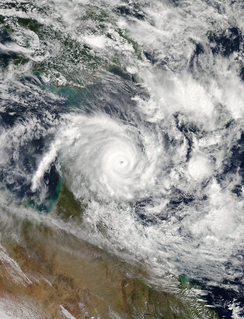
Cyclone Tracy (1974)

December 1974

What Happened

Cyclone Tracy struck Darwin on Christmas Day 1974 as a compact Category 4 system with hurricane-force winds extending only 40-50 kilometres from the centre. It destroyed 70 to 90 percent of Darwin's buildings, killed 66 people, and severely injured more than 145. Over 35,000 of Darwin's 47,000 residents were evacuated in the largest airlift in Australian history.

Outcome

Short Term

Darwin was effectively levelled. The federal government established the Darwin Reconstruction Commission to rebuild the city from scratch.

Long Term

Tracy transformed Australian building codes. Northern Australian construction standards were overhauled to require cyclone-resistant design, changes that have saved lives in every major cyclone since.

Why It's Relevant Today

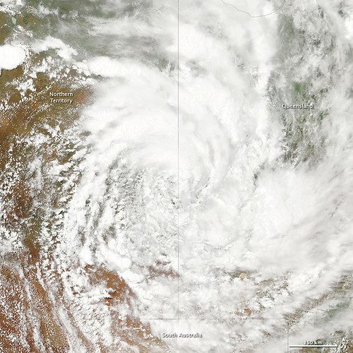
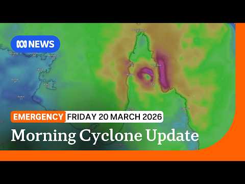
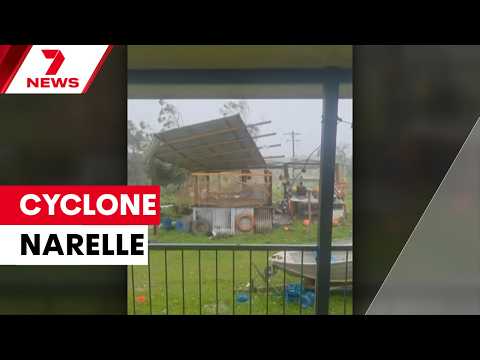
Narelle's second landfall threatens the same Northern Territory coast. The building codes born from Tracy's destruction are now being tested again — the fact that evacuations are precautionary rather than desperate reflects how infrastructure standards have improved.

Cyclone Larry (2006)

March 2006

What Happened

Cyclone Larry struck Innisfail in far north Queensland as a Category 4 system on an unusually straight westward track from the Coral Sea — a path meteorologists have compared directly to Narelle's. Larry wiped out an estimated 80 percent of Australia's banana crop and destroyed more than 700 homes.

Outcome

Short Term

Banana prices nationwide spiked from around $2 per kilogram to over $13 as supply collapsed. Federal and state disaster assistance exceeded $100 million.

Long Term

The banana industry consolidated, with some smaller growers never returning. Larry demonstrated how a single cyclone in north Queensland can affect supermarket prices nationally.

Why It's Relevant Today

Narelle has flattened banana farms in the same growing region. If damage to the industry is comparable, Australians could again see significant price increases. Larry's track and intensity offer the closest modern comparison to Narelle's Queensland landfall.

Cyclone Yasi (2011)

February 2011

What Happened

Cyclone Yasi made landfall near Mission Beach in far north Queensland as a Category 5 system — the last Category 5 to cross the Queensland coast before Narelle. With a destructive core more than 100 kilometres wide, Yasi was far larger than the compact Narelle. Insured losses were estimated between 1 and 3.5 billion Australian dollars.

Outcome

Short Term

Yasi caused widespread agricultural destruction and infrastructure damage but killed no one directly, attributed to improved warning systems and building codes implemented after Cyclone Larry.

Long Term

Yasi became the benchmark for cyclone preparedness in Queensland. The zero-death outcome validated the post-Larry investment in warning systems and reinforced building standards.

Why It's Relevant Today

Narelle is the first cyclone of comparable intensity to Yasi in fifteen years. The zero-fatality outcome from Narelle's first landfall suggests the preparedness systems validated by Yasi continue to work — though the second landfall will test whether the Northern Territory's more remote, less-resourced communities receive the same protection.

Sources

(11)