


Pull to refresh
Logo
ISRO's GSLV-F17 launches India's first geostationary Earth-imaging satellite

ISRO's GSLV-F17 launches India's first geostationary Earth-imaging satellite

New Capabilities

EOS-05 (GISAT-1A) delivers a capability first attempted in 2020 and lost in 2021

Yesterday: GSLV-F17 places EOS-05 in orbit

Overview

Updated 1 hour ago

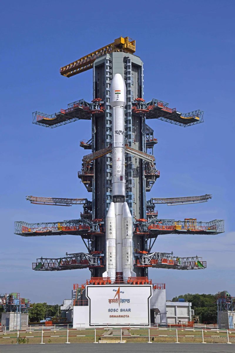
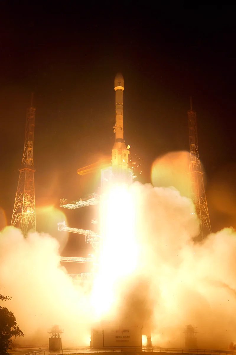
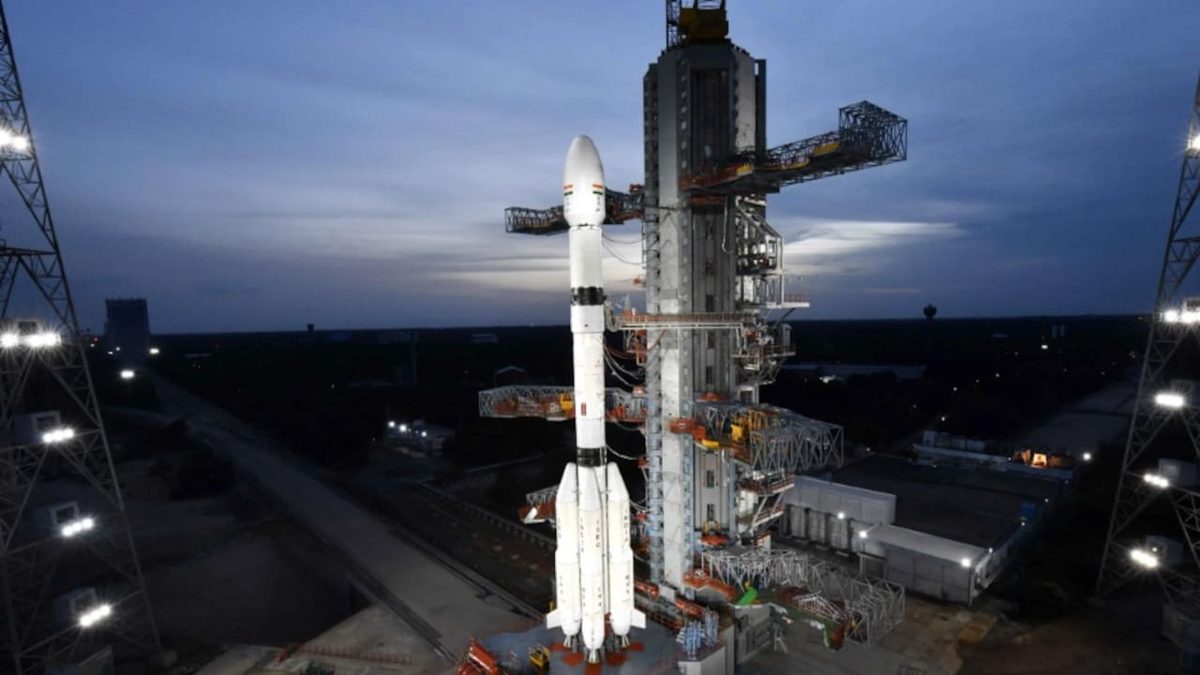
India can now watch its own territory continuously from space. ISRO's GSLV-F17 rocket carried EOS-05, a 2,367 kg imaging satellite, into orbit on September 4—India's first dedicated geostationary Earth-imaging satellite.

Most Indian Earth observation satellites circle the planet every 90 minutes from low orbit, imaging any location only when they pass overhead. EOS-05 will operate about 36,000 km up, holding a fixed view of the subcontinent and imaging large regions every 30 minutes. That persistence is the point: continuous cyclone tracking, flood response, agricultural monitoring, and border observation.

Why it matters

India gains continuous, near-real-time monitoring of its entire territory and borders from a fixed vantage point—a capability few countries have.

Questions about this story

Free account needed to ask — your question is kept and asked for you right after sign-up. Answers are public.

No questions yet — be the first to ask.

Key Indicators

2,367 kg
Satellite mass
Heaviest payload a GSLV has carried; earlier GSLV missions flew satellites in the ~2,200 kg class.
~36,000 km
Operating altitude
Geosynchronous orbit height, giving a fixed view of the Indian subcontinent.
30 min
Imaging interval
How often EOS-05 can image the same large region from geosynchronous orbit.
19
GSLV flights
The 19th flight of India's Geosynchronous Satellite Launch Vehicle.
~8 months
Launch gap for ISRO
Months between the failed PSLV-C62 mission in January and this launch—ISRO's first success of 2026.

Voices

Curated perspectives — historical figures and your fellow readers.

Ever wondered what historical figures would say about today's headlines?

Sign up to generate historical perspectives on this story.

Play

Exploring all sides of a story is often best achieved with Play.

Most of these play right now — no account needed. Sign up to save scores, keep a streak, and unlock Debate and Predict. Log in Sign Up
Predict 3 ways this could play out. Back the one you believe — contrarian picks score more when a scenario has a resolution date. Log in to play

People Involved

Organizations Involved

Timeline

March 2020 September 2026

5 events Latest: Yesterday
Tap a bar to jump to that date
  1. GSLV-F17 places EOS-05 in orbit

    Latest Launch success

    The 19th GSLV flight puts India's first geostationary Earth-imaging satellite into a sub-GTO orbit during ISRO's first launch attempt after the PSLV failure.

  2. PSLV-C62 mission fails

    Mission failure

    ISRO's first launch failure in years halted the launch campaign and left the agency without a successful mission for nearly eight months.

  3. GSLV successfully launches NISAR

    Launch success

    The joint NASA-ISRO radar satellite marked the GSLV-Mk2's return to reliable flight after the 2021 cryogenic failure.

  4. GSLV-F10 loses GISAT-1 to cryogenic failure

    Mission failure

    The cryogenic upper stage failed to ignite, sending the satellite into the sea. India's GEO imaging ambitions were set back by years.

  5. GISAT-1 (EOS-03) launch scrubbed

    Launch delay

    India's first GEO imaging satellite was scheduled to launch but the mission was scrubbed before countdown began.

Historical Context

3 moments from history that rhyme with this story — and how they unfolded.

2001–2010

GSLV's early failures and 'Naughty Boy' reputation (2001–2010)

The GSLV earned its nickname 'Naughty Boy' from ISRO scientists through a string of failures: test flights crashed into the Bay of Bengal, and the first indigenous cryogenic stage failed on its debut in 2010, carrying a communication satellite down with it.

Then

Each failure triggered engineering redesigns of the vehicle's propulsion systems.

Now

GSLV-Mk2 has since flown increasingly heavy payloads, and the 2026 GISAT-1A launch continues a run of consecutive cryogenic upper stage successes.

Why this matters now

The same vehicle family that once crashed into the sea has now placed India's highest-mass GSLV payload, underscoring how far the program has come.

December 2015

China launches Gaofen-4, its first GEO imaging satellite (2015)

China launched Gaofen-4 aboard a Long March 3B, its first imaging satellite in geosynchronous orbit. It can frame about 7 million square kilometers in a single image and was initially billed for disaster monitoring and environmental observation.

Then

Gaofen-4 entered service in mid-2016 and became China's high-altitude eye for typhoon tracking and emergency response.

Now

China folded Gaofen-4 data into military surveillance and deployed follow-on GEO imagers, building out a dual-use Earth observation system.

Why this matters now

Gaofen-4 is the closest comparable to what India just achieved, showing the civilian-to-strategic trajectory a GEO imaging capability typically follows.

August 2021

GSLV-F10 / GISAT-1 mission failure (2021)

India's first attempt to orbit a GEO imaging satellite ended in failure when the cryogenic upper stage of GSLV-F10 failed to ignite after liftoff from Sriharikota. The first two stages performed normally, but the satellite (GISAT-1/EOS-03) was lost.

Then

The satellite crashed into the sea. ISRO formed a failure analysis committee and suspended GSLV launches for fixes.

Now

India's GEO imaging ambitions were set back years. The cryogenic stage has since flown successfully multiple times, including the NISAR mission in July 2025 and now GISAT-1A.

Why this matters now

EOS-05 is the direct successor to the lost GISAT-1, and the mission validates the cryogenic upper stage that failed five years ago.

Sources

(6)