
Pull to refresh
Logo
Topcon and Proceq team up on subsurface intelligence for EMEA construction

Topcon and Proceq team up on subsurface intelligence for EMEA construction

New Capabilities

Deal pairs Proceq ground-penetrating radar with Topcon satellite positioning and cloud software

Today: Topcon and Proceq announce EMEA collaboration

Overview

Updated 39 minutes ago

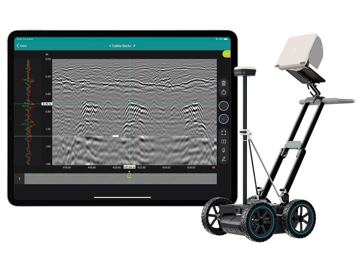
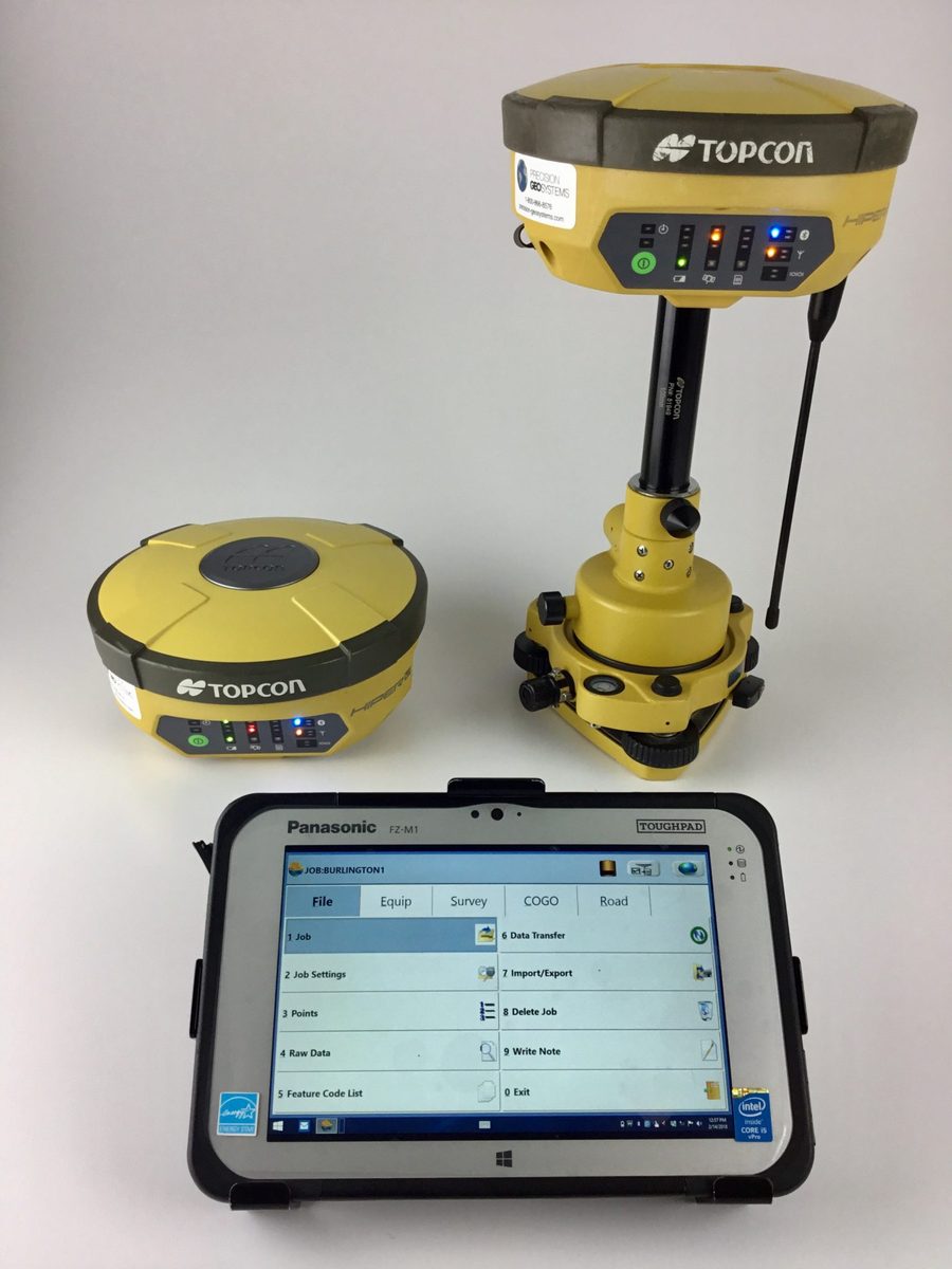
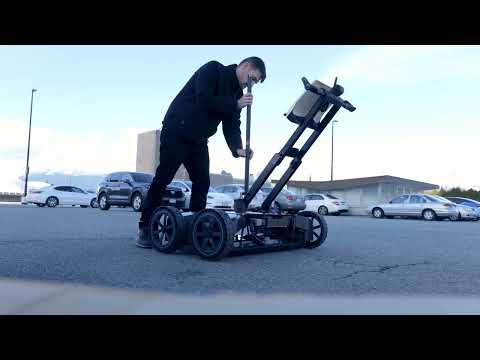
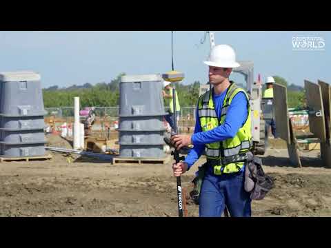
Topcon has spent 2026 wiring ground-penetrating radar into its positioning gear. The latest step, announced September 15 at INTERGEO in Munich, pairs Proceq's radar systems with Topcon's satellite positioning and cloud data software for construction projects across Europe, the Middle East, and Africa.

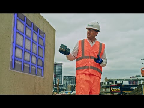
The deal follows a similar March agreement with GSSI covering North America. Together they mark a shift by survey-technology leaders from mapping surfaces to mapping what's buried under them — pipes, cables, ducts, rebar — with centimeter-level location.

Why it matters

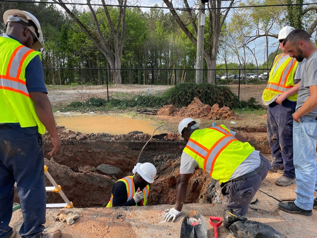
Construction crews will map buried utilities with precise location before breaking ground, cutting accidental strikes that delay projects and disrupt service.

Questions about this story

Free account needed to ask — your question is kept and asked for you right after sign-up. Answers are public.

No questions yet — be the first to ask.

Key Indicators

2
GPR partnerships announced by Topcon in 2026
GSSI in March for North America, Proceq in September for EMEA.
4,000+
Registered users of Proceq's GS8000 radar app
Screening Eagle's figure for the ground-penetrating radar system paired with Topcon positioning.

Voices

Curated perspectives — historical figures and your fellow readers.

Ever wondered what historical figures would say about today's headlines?

Sign up to generate historical perspectives on this story.

People Involved

Organizations Involved

Timeline

March 2026 September 2026

3 events Latest: Today
  1. Topcon and Proceq announce EMEA collaboration

    Today Partnership

    Proceq ground-penetrating radar links with Topcon satellite positioning and cloud software for EMEA construction.

  2. Topcon launches new GNSS receivers and software

    Product launch

    Topcon unveils HiPer S1 and V1 receivers plus MAGNET Field and Office 2026 software in Munich.

  3. Topcon and GSSI announce GPR-GNSS integration

    Partnership

    GSSI ground-penetrating radar pairs with Topcon positioning and Collage Web software for North American projects.

Scenarios

1

Topcon adds a third subsurface sensing partner

Likely Resolves by Apr 30, 2027

Discussed by: Construction industry trade press (The Construction Data, Highways Today) tracking the GSSI and Proceq deals

If the GSSI and Proceq integrations land well with civil engineering firms, Topcon extends the pattern to other subsurface sensing makers — electromagnetic locators, concrete scanners, or a rival radar firm. The March and September deals show a clear playbook: find a sensing maker, pair its hardware with Topcon receivers and Collage Web software, and sell the bundle to construction crews. Bauma 2027, the industry's biggest construction fair, is a natural launch venue.

2

Topcon buys a ground-penetrating radar maker

Possible Resolves by End of 2027

Discussed by: Commentary on the GSSI deal in The Construction Data and Highways Today, which noted the consolidation pattern set by Hexagon

The partnership-first approach could shade into outright acquisition, following the path Hexagon took building its geospatial empire through purchases like Leica Geosystems and Intergraph. Buying Proceq's GPR division or a smaller radar maker would give Topcon control of the sensing layer it currently licenses. Trigger: the GSSI and Proceq integrations produce strong revenue and Topcon decides the technology is core.

3

Trimble or Hexagon answers with its own GPR integration

Possible Resolves by Q2 2027

Discussed by: Competitive analysis of the positioning sector in surveying trade press

Topcon's two radar deals pressure rivals Trimble and Hexagon, which also sell positioning hardware to civil construction. Either could respond by pairing its own receivers with a ground-penetrating radar maker to match Topcon's bundle. Trigger: Topcon's subsurface bundle wins visible project wins or prominent coverage in EMEA and North America by mid-2027.

Historical Context

3 moments from history that rhyme with this story — and how they unfolded.

2002

Subsurface utility engineering standard ASCE 38-02 (2002)

The American Society of Civil Engineers published ASCE 38-02, the first standard assigning quality levels to underground utility location. The rule gave utilities, contractors, and engineers a shared language for how confident they could be about what lies under a job site.

Then

Gave the industry a shared basis for designating and locating buried utilities in design and construction work.

Now

Created a sustained market for ground-penetrating radar and other subsurface sensing tools, which has since converged with satellite positioning.

Why this matters now

Explains why contractors want GPR: accurate subsurface data, given precise location, prevents damaged utilities and wasted excavation.

2005-2015

Hexagon builds a geospatial empire through acquisition (2005-2015)

Hexagon's CEO Ola Rollén bought Leica Geosystems in 2005 and Intergraph in 2010, adding dozens of smaller sensing and software firms to build the world's largest geospatial technology company. The purchases turned a Swedish measurement firm into a global positioning giant without building the technology internally.

Then

Hexagon grew into a diversified geospatial conglomerate spanning surveying, mapping, and construction.

Now

Established acquisitions as a standard growth path for positioning companies — a path Topcon could follow with radar makers.

Why this matters now

Topcon's partnership-first push into ground-penetrating radar mirrors the early stages of Hexagon's acquisition spree, with purchases a possible end state.

1990s-2010s

Trimble expands from GPS to full construction workflow (1990s-2010s)

Trimble started as a GPS hardware maker and bought its way across the construction workflow, acquiring Spectra Precision in 2000, Tripod Data Systems in 2001, and dozens more. It transformed from selling receivers to owning the software and sensors crews use on site.

Then

Trimble captured a broad share of the civil construction technology market.

Now

Showed that positioning companies can grow by integrating adjacent sensing and software rather than building from scratch.

Why this matters now

Topcon's GPR partnerships pursue the same expansion logic, adding a sensing layer to its existing positioning and software stack.

Sources

(9)