
Pull to refresh
Logo
USPS tests road-scanning cameras in delivery trucks

USPS tests road-scanning cameras in delivery trucks

New Capabilities

A 100-truck pilot in Washington, D.C. records streets, signs, and sidewalks while mail carriers make their rounds

Yesterday: Pilot details become public via 404 Media report

Overview

Updated 1 hour ago

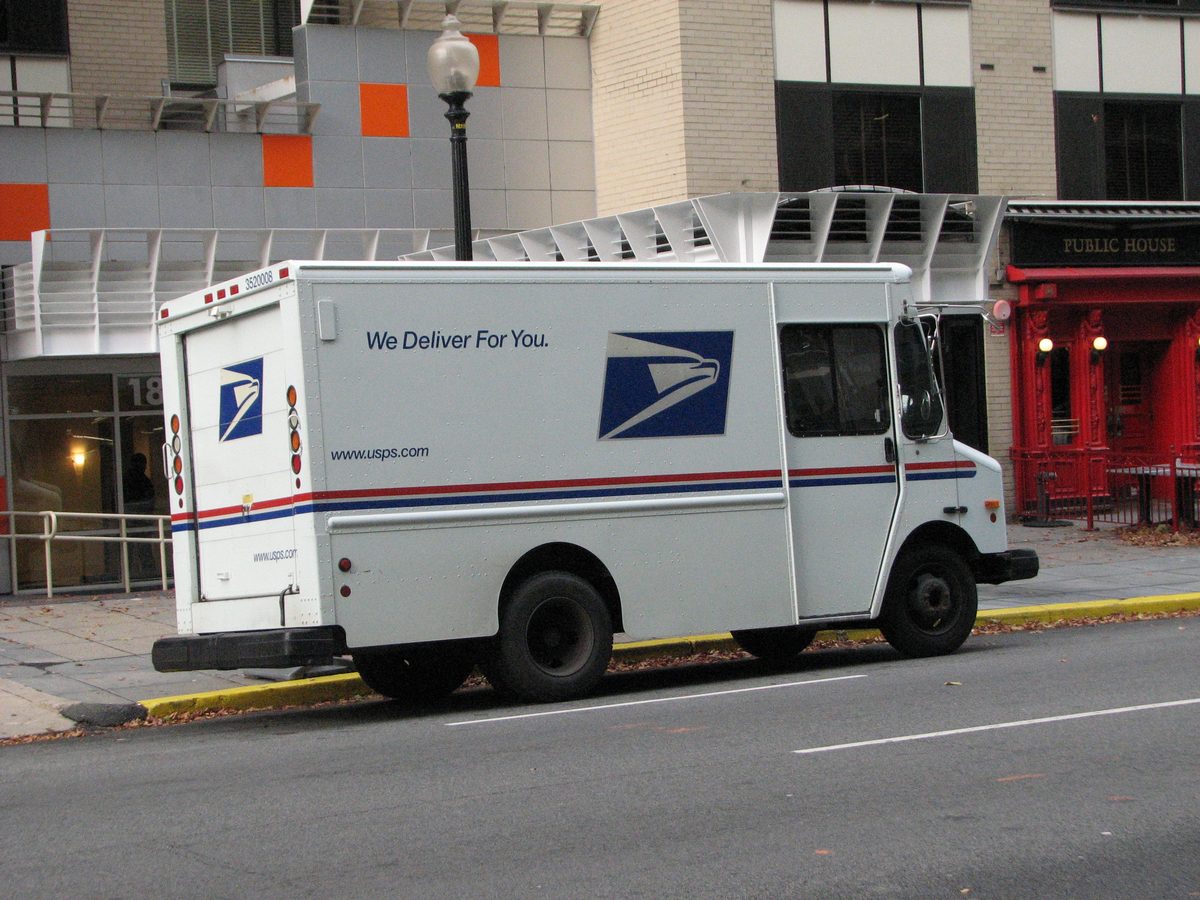
A hundred U.S. Postal Service delivery trucks in the Washington, D.C. area now carry forward-facing cameras that record roads, signs, and sidewalks in 4K while the vehicles are in drive. USPS launched the pilot on September 21 with dashcam maker Next Base, saying it wants to identify roadway conditions and support "community safety."

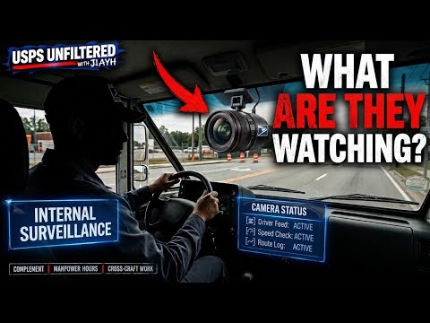
Postal trucks already have 360-degree exterior cameras that capture short loops around the vehicle. The new cameras add a continuous visual record of every street a carrier drives. The agency says findings from the pilot will inform any future decisions.

Why it matters

If the pilot expands, the postal fleet, which visits nearly every U.S. address daily, becomes a continuous road-surveillance network.

Questions about this story

Free account needed to ask — your question is kept and asked for you right after sign-up. Answers are public.

No questions yet — be the first to ask.

Key Indicators

100
Delivery trucks in the camera pilot
USPS equipped 100 vehicles in the Washington, D.C. area for the pilot.
4K
Camera recording resolution
Next Base cameras record up to 4K and can capture license plates, though they don't run automatic license plate reader software.
0
ALPR software in use
The cameras don't run automatic license plate reader software, USPS confirmed.

Voices

Curated perspectives — historical figures and your fellow readers.

Ever wondered what historical figures would say about today's headlines?

Sign up to generate historical perspectives on this story.

People Involved

Organizations Involved

Timeline

August 2026 September 2026

3 events Latest: Yesterday
  1. Pilot details become public via 404 Media report

    Latest Disclosure

    404 Media publishes details of the pilot, quoting the USPS letter to the letter carriers' union and the agency's statement on privacy safeguards.

  2. USPS launches road-scanning camera pilot

    Launch

    USPS begins placing Next Base dash cameras in 100 delivery trucks in the Washington, D.C. area. Cameras record while vehicles are in drive.

Scenarios

1

USPS expands road-scanning camera program beyond D.C.

Possible Resolves by Q3 2027

Discussed by: The pilot's design — 100 trucks, several months, and USPS's stated intent to let findings 'inform any future decisions' — leaves expansion open.

USPS completes the pilot, finds the data useful for roadway maintenance and community safety, and expands camera installation to more vehicles across the country. The agency's fleet size means a national program would put cameras on tens of thousands of trucks visiting nearly every American address.

2

Pilot ends quietly after privacy and labor scrutiny

Possible Resolves by Q3 2027

Discussed by: Privacy advocates and NALC members concerned about worker monitoring; some carriers fear cameras could be used to micromanage their work.

Privacy concerns from lawmakers, pushback from letter carriers worried about workplace monitoring, or pilot data that doesn't justify the cost leads USPS to end the program after the pilot period. The agency says the program is limited and will inform future decisions, which could include not continuing it.

3

Congress restricts government vehicle surveillance data

Unlikely Resolves by End of 2028

Discussed by: Sen. Josh Hawley's Stop Flock Abuse Act, which targets the lifecycle of surveillance data collected by cameras.

Congress passes legislation like the Stop Flock Abuse Act, which would restrict government agencies from selling or sharing vehicle camera data, require deletion within 10 days absent a criminal investigation, bar facial recognition in surveillance networks, and require data encryption with storage in the United States. The law would limit what USPS could do with data collected by its fleet cameras.

Historical Context

3 moments from history that rhyme with this story — and how they unfolded.

May 2007

Google Street View launch (2007)

Google launched Street View, sending camera-equipped cars to photograph streets worldwide. The resulting imagery became a massive geospatial database. Google later faced privacy complaints across multiple countries over capturing faces, license plates, and Wi-Fi data.

Then

Street View produced the first comprehensive street-level visual record of cities and suburbs.

Now

It demonstrated both the value and the privacy tensions of street-level imaging, and Google had to implement blurring of faces and plates.

Why this matters now

The USPS pilot generates similar street imagery, but from government vehicles on postal routes — a continuous, recurring record rather than a one-time survey.

2026

Dallas City Detect sanitation truck cameras (2026)

The city of Dallas partnered with City Detect to mount AI-powered cameras on sanitation trucks that monitor property conditions as trucks make their normal rounds. The program uses vehicles that already travel city streets daily as rolling data collection platforms.

Then

Dallas gained property-condition data without sending dedicated survey vehicles.

Now

It set a precedent for municipal fleets doubling as sensor platforms, with minimal additional cost.

Why this matters now

The USPS pilot uses the same mechanism: vehicles already circulating daily become continuous data collectors, raising the question of how much visual data government fleets should gather.

Ongoing

USPIS mail theft surveillance toolkit

The U.S. Postal Inspection Service, USPS's law enforcement arm, has used hidden cameras inside blue collection boxes, GPS data from rental cars, and license plate readers to catch mail thieves. In one case, a camera inside a targeted box captured a suspect's face as they allegedly stole mail.

Then

The surveillance methods led to criminal complaints and convictions in mail theft cases.

Now

The postal inspection service has an established toolkit of camera and location surveillance methods.

Why this matters now

USPS already uses cameras and location tracking for law enforcement, making the road-scanning pilot a routine extension of existing practice rather than a new capability.

Sources

(8)