Anchor

Planet Labs publishes open orbital data for its 97 satellites
New CapabilitiesAn open satellite-tracking feed meets tightened wartime imagery restrictions
Yesterday: Marksblogg dissects Planet's open TLE feedNew here? Follow stories to track developments over time. Create a free account to get updates when stories you care about change.
Overview
Updated YesterdayPlanet Labs posts the orbital position of every satellite it flies—97 of them—in one open file anyone can download. The same company delays or withholds its imagery of Middle East conflicts. Both moves respond to one fact: satellite data shapes war.
This week a detailed walkthrough of the open feed, which lists the fleet's two-line elements for independent tracking, spread on Hacker News. Independent analysts can now cross-check the company's constellation against public catalogs like GCAT. The open feed is the transparency side of a business whose chief executive poses with NATO's leadership.
Why it matters
Orbital data is targeting data. Planet publishes its fleet's exact positions while rationing wartime imagery, so its openness and its secrecy are the same product.
Questions about this story
Free account needed to ask — your question is kept and asked for you right after sign-up. Answers are public.
No questions yet — be the first to ask.
Key Indicators
97
Active satellites listed in the open feed
Planet's ephemerides service lists 97 satellites still in orbit, including the newly launched Pelican-11.
14 days
Middle East imagery delay
Extended from four days in March, then applied indefinitely to Iran war imagery in April.
426
Spectral bands in Planet's hyperspectral imagery
Planet also publishes an open 426-band hyperspectral imagery feed, its other major transparency product.
Related Media
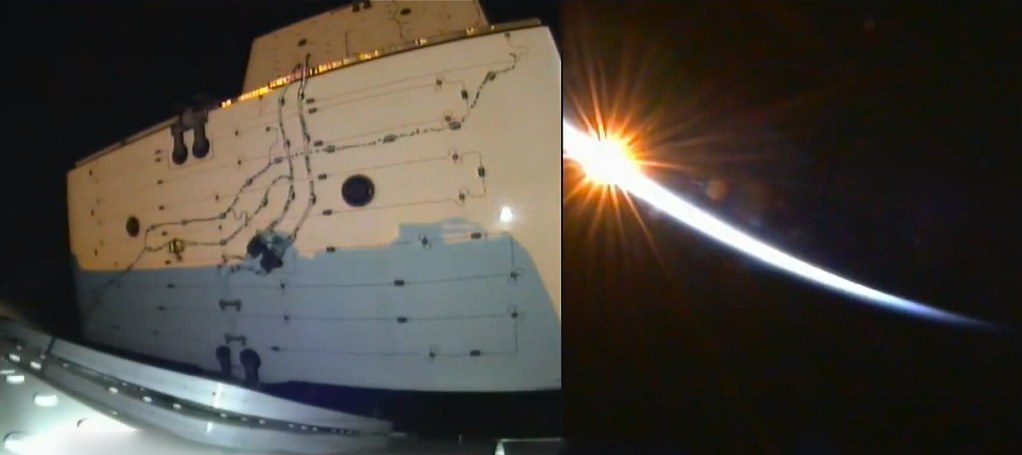
Sunrise on the SpaceX Dragon spacecraft’s solar panels this morning, bringing two Planet Labs satellites to station
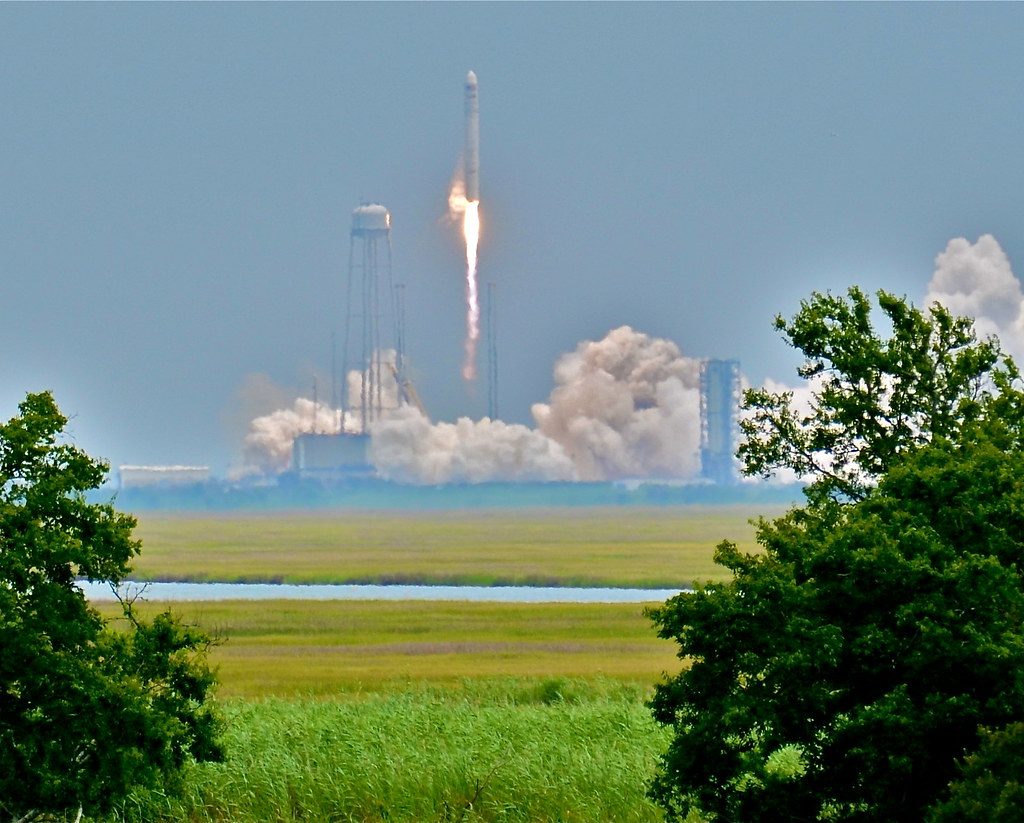
Antares Launch of 28 Planet Labs Satellites today

When Doves Fry — The satellite that Tweeted “Yo”, now in our lobby, from the explosion that opens Planet Labs’ Dreamforce preso

3.1K views
5:18
Planet Labs: Why We Invested in the "Planetary Operating ...
Space Capital
2.1K views
4:51
Planet Labs (PL) Stock Deep Dive | Is This Space Data Giant ...
Sacco Financial
511 views
7:22
Planet Labs 2026: Daily Global Satellite Imagery & Earth ...
QUASA
Images from Openverse under Creative Commons licenses. Videos from YouTube.
Voices
Curated perspectives — historical figures and your fellow readers.
Play
Exploring all sides of a story is often best achieved with Play.
Most of these play right now — no account needed. Sign up to save scores, keep a streak, and unlock Debate and Predict.
Log in
Sign Up
Higher or Lower
A number from this story, against one from elsewhere in the news — guess which is bigger, then keep the chain going. 5 rounds, 3 strikes; a miss costs a strike and resets your streak.
Example
Anchor
EU tariff revenue
$52B
Big for this kind of number
Mystery
Pentagon AI contract
?
Round 1
Streak: 0
Mystery
?
Keyboard: ↓/L lower · ↑/H higher
0 pts
Best streak: 0 · Rounds: 0
0 points — sign up to put that on the leaderboard.
Now try on this story
Connections
Sixteen names from the news. Find the four hidden groups of four. Four mistakes max.
Loading today's puzzle…
0/4 groups
Mistakes
Sign up to keep a daily streak — a new puzzle lands every day.
Now try on this story
Exit debate?
Your progress in this debate will be lost.
How it works
- 1 Two AI personas square off on this story.
- 2 You predict who'll win each round — correct picks earn XP.
- 3 One crossfire question is yours to fire. Pick it carefully.
Couldn't generate a topic
Select Your Champions
Choose one persona for each side of the debate
DEBATE TOPIC
Choose personas with different perspectives for a more dynamic debate.
SIDE A (PRO)
Select debater for this side:
No debate personas available right now.
SIDE B (CON)
Select debater for this side:
No debate personas available right now.
VS
Get ready to make your prediction...
Round of
Claim
Evidence
Stakes
Crossfire Answer
Closing Statement
Claim
Evidence
Stakes
Crossfire Answer
Closing Statement
Your Crossfire Question
Generating arguments...
Who's Got This Round?
Make your prediction before the referee scores
The referee scores both sides on
Correct predictions earn +20 XP
· Press 1 or 2 to pick
Evidence
40%
Logic
30%
Detail
20%
Style
10%
Round Results
Your Pick
Not this time
(%)
Overall Score
/10
Your Pick
Not this time
(%)
Overall Score
/10
Set the Crossfire
Pick the question both personas must answer in the final round
Crafting crossfire questions...
Choosing a question earns +10 XP crossfire bonus
🏆
Total XP Earned
Cred Change
Predictions
Debate Oracle! You called every round!
Sharp Instincts! You know your debaters!
The Coin Flip Strategist! Perfectly balanced!
The Contrarian! Bold predictions!
Inverse Genius! Try betting the opposite next time!
XP Breakdown
Base completion
+20 XP
Rounds played ( rounds x 5 XP)
+ XP
Correct predictions ( correct x 20 XP)
+ XP
Crossfire bonus
+10 XP
Accuracy
%
Prediction History
Round
You picked:
✓
✗
Now try on this story
Keep debating to level up your credibility and unlock achievements
People Involved
Organizations Involved
Planet Labs
Satellite manufacturer and constellation operator
Operates ~97 active satellites
A San Francisco firm that photographs all of Earth's landmasses daily and sells the imagery to governments, companies, and media.
SpaceX
Launch provider
Flew Planet's Pelican-11 in July 2026
Launched Planet's Pelican-11 satellite into low Earth orbit on the Transporter-17 rideshare mission, July 7, 2026.
Timeline
March 2026 September 2026
6 events
Latest: Yesterday
Tap a bar to jump to that date
-
Marksblogg dissects Planet's open TLE feed
Latest AnalysisA detailed walkthrough of Planet's open orbital-data feed spread on Hacker News, drawing wider attention.
-
Disaster feed posts Nepal flash flood imagery
Data releaseThe Disaster Data feed added imagery of the Nepal flash flood of August 26.
-
Disaster feed posts Colombia earthquake imagery
Data releasePlanet's open Disaster Data feed added imagery from the August 10 Colombia earthquake.
-
SpaceX launches Planet's Pelican-11
LaunchTransporter-17 deployed the satellite into low Earth orbit to join the Tanager constellation.
-
Planet to withhold Iran war images indefinitely
PolicyPlanet said it would release Iran war imagery only case-by-case for urgent or public-interest needs.
-
Planet extends Middle East image delay to 14 days
PolicyPlanet told customers it was extending the delay from four days to 14, citing control over tactical use by adversaries.
Historical Context
3 moments from history that rhyme with this story — and how they unfolded.
February 1995
Corona declassification (1995)
The US government declassified roughly 860,000 images from the Corona spy-satellite program (1959-1972), making the first high-resolution overhead imagery of Earth public. The release also confirmed a reconnaissance program Washington had long denied.
Then
Researchers gained decades of historical landscapes, and the public saw what spy satellites had captured at the height of the Cold War.
Now
Declassification helped normalize civilian access to satellite imagery and opened the field for commercial operators.
Why this matters now
Every widening of public satellite data—Corona's release, free Landsat, Planet's open TLE feed—has expanded civilian access to what was once military-only.
October 2008
Landsat free-data policy (2008)
In 2008 the USGS and NASA made the full Landsat image archive, dating to 1972, free to download. Before that, a single scene cost hundreds of dollars and the data was largely confined to government researchers.
Then
Usage exploded; agriculture, water, and disaster agencies folded satellite data into routine operations.
Now
It seeded a commercial remote-sensing industry—Planet's founders among them—that now sells what was once classified or paywalled.
Why this matters now
Landsat established that broad open Earth data has civilian value. Planet's open TLE feed is the orbital-data cousin of that decision.
February-March 2022
Commercial imagery restrictions in Ukraine (2022)
After Russia's February 2022 invasion, Planet and Maxar clamped down on high-resolution imagery of Ukraine and Russia. Planet told customers it would stop sales over the region, worried the data could aid Russian targeting.
Then
Media and researchers lost real-time access to a war zone, while government buyers still received imagery.
Now
It established that commercial providers will curtail their own products during conflict—a policy Planet has now extended to the Middle East.
Why this matters now
The 2026 delays on Middle East imagery, and the indefinite Iran hold, are the same mechanism operating four years later.
Sources
(5)Related Stories
Rocket Lab closes a perfect 2025 by lofting iQPS’s QPS-SAR-15 — and locking in as its constellation workhorse
New Capabilities
Updated May 15
World Labs debuts Atlas, a model that builds and simulates 3D worlds from a few photos
New Capabilities
Updated Sep 2
China files for 200,000 satellites in orbital land grab
New Capabilities
Updated Jul 6
ISRO's GSLV-F17 launches India's first geostationary Earth-imaging satellite
New Capabilities
Updated 5 days ago
US spy agency builds the largest satellite network in history
New Capabilities
Updated Jul 30
U.S. builds a swarm of small spy satellites in low orbit
New Capabilities
Updated Jun 19